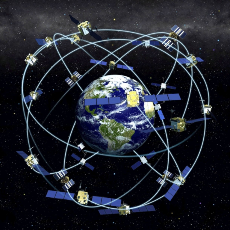
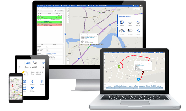
GPS technology has changed the way we live our lives in many ways. Petroleum industry, air traffic, emergency services, shipping and transit operations depend on GPS technology. Nowadays, almost every vehicle has a vehicle tracking device installed for security and real-time tracking. What would we do without GPS? We have become so dependent on this technology, it’s almost impossible for our society to function without it. GPS has been invented by the US military and it’s paid by the USA taxpayer. Currently, GPS is controlled by the US military. Realising this could be a problem in the future, the EU has built its own global positioning system; Galileo – European Global Navigation Satellite System.Galileo is the only satellite constellation system managed by the civilians. Galileo will be completed by 2019 and will have 30 satellites in orbit and it will be interoperable with USA’s GPS and Russia’s GLONASS. Galileo will be able to deliver real-time position for civilians with an accuracy of up to 1-meter range. Having 30 satellites in the constellation not only makes Galileo 10 times accurate, but it will also mean that Galileo can tell the users how accurate the signals are, a vital information in some situations where safety is very important. Galileo navigation system also has the functionality of two-way communications between the satellites and ground control stations.

Galileo, once fully operational, will offer four high-performance services worldwide:Open Service (OS): Galileo open and free of charge service set up for positioning and timing services.Commercial Service (CS): A service complementing the OS by providing an additional navigation signal and added-value services in a different frequency band. The CS signal can be encrypted in order to control the access to the Galileo CS services.Public Regulated Service (PRS): Service restricted to government-authorised users, for sensitive applications that require a high level of service continuity.Search and Rescue Service (SAR): Galileo will be an important element of MEOSAR (Medium Earth Orbit Search and Rescue system), and thus a key contributor to Cospas-Sarsat, the international satellite-based search and rescue distress alert detection and information distribution system. Galileo satellites will receive emergency beacons carried on ships, planes or people and send them back to national rescue centres. Also, a feedback to a beacon could be sent, being this exclusive with Galileo.Following the latest innovations in GPS technology, the latest models of GPS tracking devices come with an integrated Galileo module. This allows the tracking device to calculate it’s location using two different satellite constellations (GPS + GALILEO) to improve location accuracy. Galileo satellites are integrated with advanced atomic clocks that are accurate to less than one nanosecond per 24 hours. The improved accuracy of the atomic clocks means that you can pinpoint the location of a vehicle within 1 metre. Galileo’s satellites also soar at a higher altitude, compared to USA’s GPS, this means that Galileo satellites have a wider cone of vision and therefore increases your chance of being in sight of line with a satellite.All the technical advancement and functionality improvements of Galileo over GPS sounds great, but the most important thing about Galileo is that it’s the first navigational system managed by civilians. The EU has built the Galileo navigational system to aim the global tracking and timing services market, which is estimated to be worth around €260 billion by 2021 and it’s known that 8% of EU economy depends on the availability of a global navigation system. Galileo’s improved accuracy on tracking allows practical benefits on civil use such as; helping people with disabilities to navigate in cities, driverless smart cars, more efficient and safer air traffic, and more accurate vehicle navigation and tracking.

Rewire Security offers advanced GPS tracking devices integrated with a GNSS module that allows multi-constellation operation, meaning simultaneous connection to GPS, GLONASS, Galileo and Beidou satellite systems. Using the integrated GNSS module, the tracking device acquires real-time location data with increased accuracy. These complex and advanced tracking devices support multi-frequency, multi-constellation GNSS systems and in result improve the accuracy and sustainability of vehicle tracking systems. Multi-constellation GPS receivers are necessary at the consumer level when they are used for tracking a vehicle in urban locations. GNSS is especially useful where only a partial view of the sky is available, using multiple satellite signals, both the first-fix-time and location accuracy improve.View our selection of GNSS vehicle trackers here.


